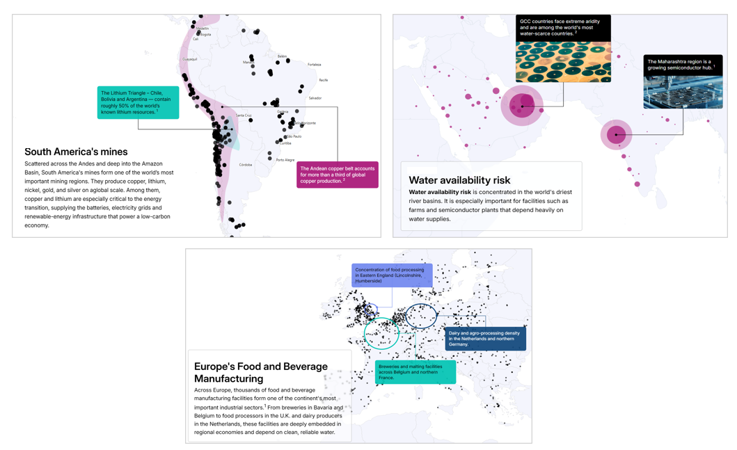
Investment risks rarely exist in isolation
They intersect in the places where companies operate, where technological, physical, environmental, social and economic forces combine to shape real-world exposure. The rapid growth of geospatial intelligence, together with an expanding universe of datasets, is creating new ways of seeing how these forces interact, giving investors a sharper view of their exposures.
The maps in this series combine MSCI GeoSpatial Asset Intelligence with datasets from organizations across a range of disciplines to reveal insights that neither could provide alone. Each map highlights relationships that might otherwise remain hidden, offering new ways to understand the forces shaping companies, investments and the global economy.
We’re looking for datasets that can reveal new dimensions of investment risk when combined with location-based intelligence. If your organization has data that could help investors see risk in a new way, we’d welcome the opportunity to explore a collaboration.
Maps in this series
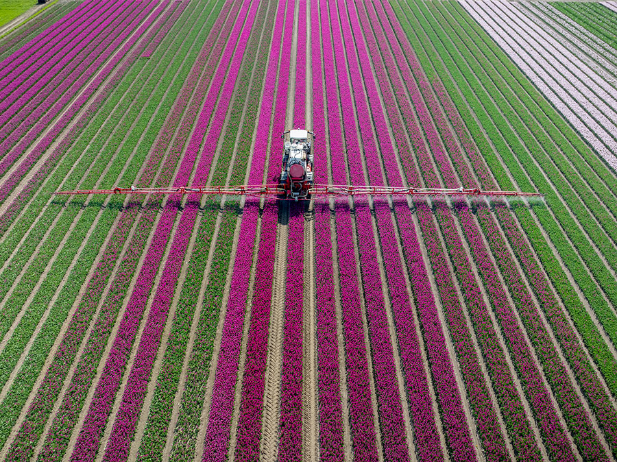
How fertilizer shapes water risk in Europe
Across the continent, intensive fertilizer use and food manufacturing converge in ways that create shared exposure.
Developed using data from Climate TRACE
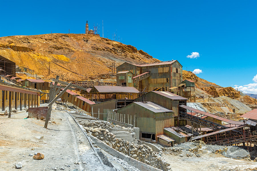
Where conflict meets critical minerals
South America’s copper and lithium deposits often coincide with social and political conditions that disrupt mining.
Developed using data from ACLED
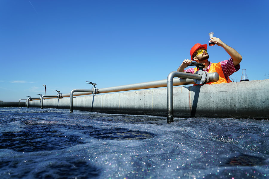
How to think about water risk
For companies operating around the world, water quality can be just as important as water availability in many places.
Developed using data from WWF
Collaborate with us
Help investors see risk in new ways
We’re looking for datasets that, when combined with MSCI GeoSpatial Asset Intelligence, can reveal new dimensions of investment risk. If your organization has data that could offer a new perspective, we’d welcome the opportunity to explore a collaboration.